UN votes to adopt new world map showing Africa's true size
The UN General Assembly has passed a resolution urging countries to adopt the Equal Earth map projection, which accurately shows the size of Africa, Latin
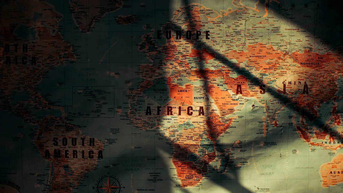
The United Nations General Assembly has voted to adopt a resolution encouraging a new world map that shows Africa, Latin America, South Asia, and Oceania at their true, larger sizes. On Friday, the non-binding resolution was supported by 164 countries, with the United States voting against and six other nations abstaining.
Foreign Minister Robert Dussey of Togo, which spearheaded the initiative, stated that maps guide education and influence collective perceptions. He said the resolution reaffirms African reality. The new map is the Equal Earth cartographic projection, which the resolution calls a relevant option for improving global cartographic accuracy.
How the new map corrects old distortions
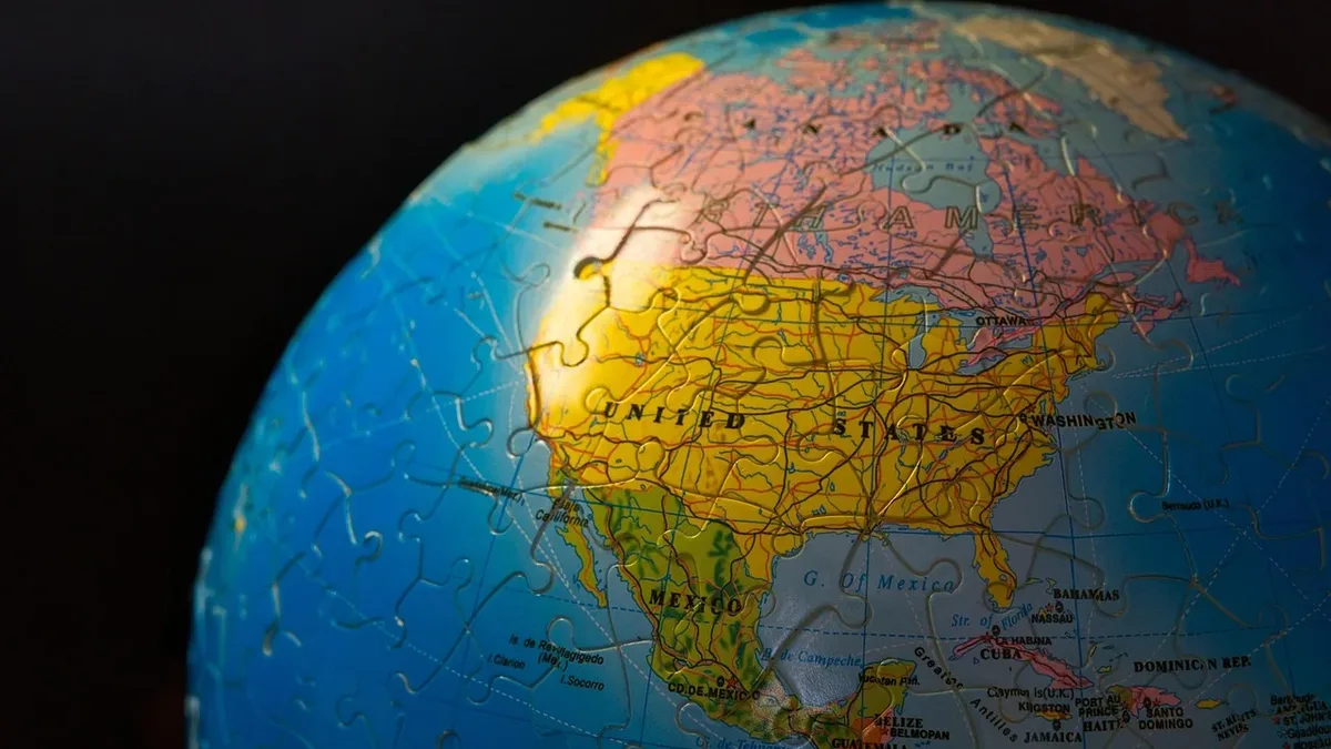
The resolution urges a move away from the centuries-old Mercator projection, designed in 1569 for maritime navigation. That map accurately depicts landmass shapes and angles but severely distorts their relative sizes when projecting a globe onto a flat surface. It inflates northern regions like Europe and North America while compressing equatorial areas, making Africa and South America appear smaller than they are.
The true scale of the world's regions
The source provides specific land area figures for several regions, revealing the scale of the Mercator distortion.
| Region | Area in Million sq km | Area in Million sq miles |
|---|---|---|
| Africa | 30.3 | 11.7 |
| Latin America (total) | 20 | 7.7 |
| - South America | 17.8 | 6.9 |
| Oceania | 8.5 | 3.3 |
| South Asia | 5.1 | 2 |
| Europe | 10.2 | 3.9 |
Africa is large enough to contain the United States, China, India, and most of Europe. On a Mercator map, however, it appears roughly the same size as Greenland, which is actually about 14 times smaller. Combined, Africa, Latin America, South Asia, and Oceania cover about 64 million square kilometers, more than 40 percent of the world's land surface.
International reaction to the map vote
The response to the UN vote has been largely positive. France, a co-sponsor of the resolution, announced it would abandon the Mercator projection. French Foreign Minister Jean-Noel Barrot said that map gives disproportionate visual prominence to the United States, Russia, and China compared to Africa, Latin America, or Southeast Asia. He added that changing maps does not change the world, but correcting a distorted representation is an act of truth.
The United States was the sole vote against the resolution. US representative Yaryna Ferencevych argued before the vote that debating map projections from the 16th century is the reason the UN is losing its credibility, instead of focusing on genuine problems. Six other countries, Serbia, Estonia, Georgia, Lithuania, Moldova, and Ukraine, abstained.
What is the Equal Earth projection?
The Equal Earth projection was launched in 2018 by cartographers Bojan Savric, Tom Patterson, and Bernhard Jenny. In 2025, Savric told the AFP news agency that Equal Earth preserves the relative surface areas of continents and shows their shapes as they appear on a globe as much as possible. The UN resolution encourages governments and institutions worldwide to adopt this projection.
The resolution is not binding and does not ban the Mercator projection. The UN stated it is merely encouraging the use of the Equal Earth projection for a more accurate representation of the world.